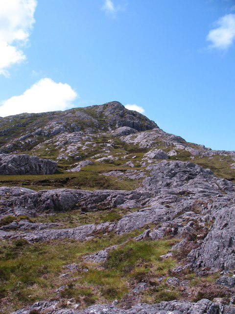
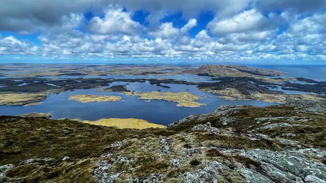
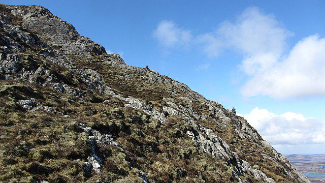
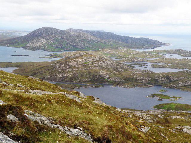
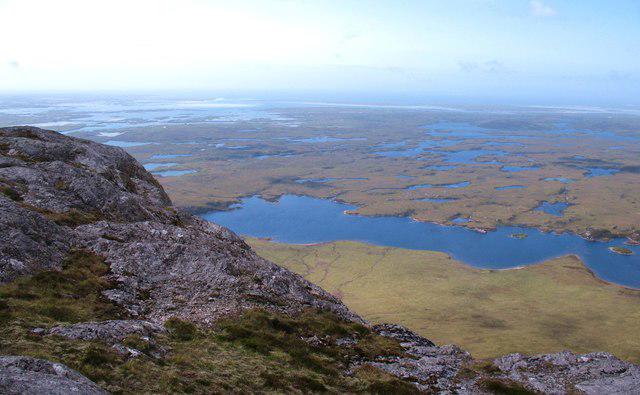
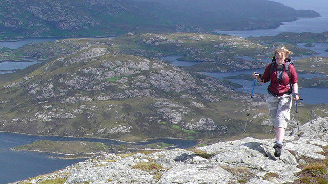
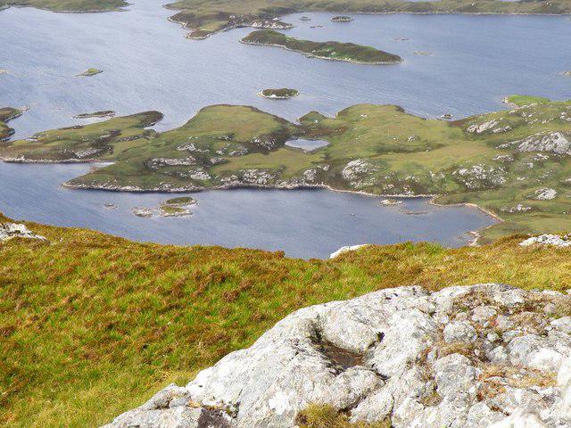
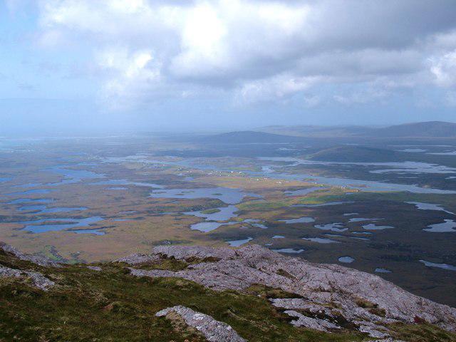
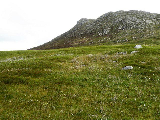
![Eabhal [Eaval]](https://cdn.walkmates.com/hill-photos/hill-placeholder.jpg)
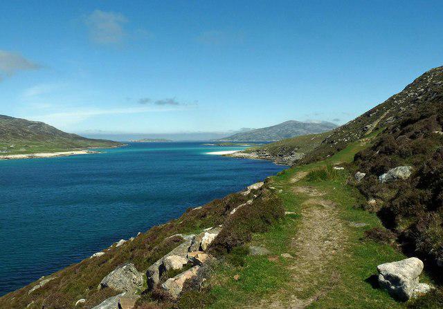
Coastal
PointToPoint
Easy
Berneray Community Hall to the beautiful beach
PaulWalkmates
Walk organiser
![Eabhal [Eaval] location map](https://cdn.walkmates.com/hill-maps/eabhal-[eaval].png)
No comments yet. Be the first.